Every building, road, and fixed structure in the world has geographic information. This enables it to be located on a map, and displayed alongside relevant data. Geographic information is now so ubiquitous that 80% of the world’s stored information contains a geographic element. In order to read and analyze this data, you need to use a geographic information system, or GIS.
At the base of every GIS is a map. This map can either be stored as a raster or vector image. Whilst both have their pros and cons, there are some clear advantages to choosing a vector image. Want to know more? Read on to learn about how industries use GIS; why you should choose a vector image; and how to convert your raster image to one of the most popular vector formats around: DXF.
What is GIS?
A Geographic Information System is a piece of software that allows a user to view and analyze map data. It enables the user to view both geographic information and data about the demographics of a certain area side-by-side. It also makes it possible to overlay the data with custom fields—for example, to display store opening times next to its location on a map.
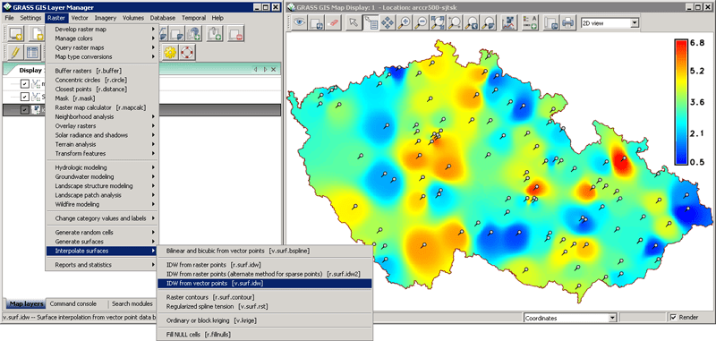
A screenshot of GRASS GIS, an example of a Geographic Information System
Who uses GIS?
Whilst GIS was once niche, it has recently exploded into the mainstream. It’s easy to see why: geographic information is crucially important for both the public and private sector; for businesses and for individuals. Before the widespread adoption of GIS, there was thus a gap in the market for software which could analyze geographic data. With faster processing speeds and cheaper file storage, GIS became commercially viable and widely adopted.
Nowadays, a wide range of industries use GIS: insurers, railway companies, retailers, and many others. As a reflection of its ubiquity, learning to use GIS is now a key component of many college programs.
Vector images and GIS
In order to understand the geographic data, GISs include maps. These maps may either be raster images or a vector images. When used in a GIS, raster images act as a backdrop. It is not possible to edit or remove individual elements within a raster image—the user is restricted to making edits which affect the image as a whole, such as inverting the colors of the map. As with other raster images, they also face the issue of not being scalable due to their resolution dependency. This means that when you zoom into a raster image, it will lose quality and become pixelated.
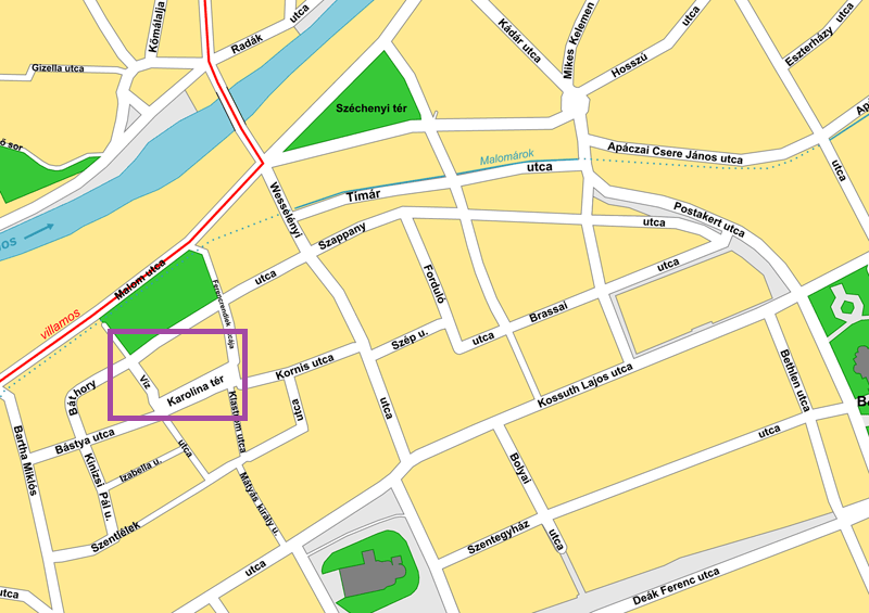 |
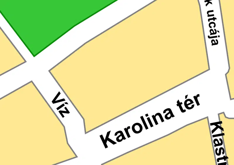
|
| The image on the left is a vector map of the city of Cluj-Napoca, Romania. On the right is a zoomed-in section of the map, which has maintained its quality. | |
Vector images, meanwhile, are much more dynamic. Whereas a raster image is made up of pixels, vectors are composed of lines, points, polygons and text:
- Polygons are two dimensional, so you can use them to measure a perimeter or area e.g. the boundary of a town.
- Lines are one dimensional, so you can only use them to measure length and represent linear features e.g. streams or streets.
- Points have zero dimensions, so you cannot use them for measuring. Instead, they are used to represent discrete data points/points of interest e.g. a city location or a church.
These elements appear the same at any scale, meaning you can zoom into or out of the image whilst maintaining quality. Essentially, vectors are infinitely scalable. You can also edit individual elements within a vector image, as well as certain classes of elements. This means that you could color a certain building, or all buildings within the image. You can also add or remove certain elements from the image—for example, you could remove all text from the image. It is also possible to link geographic data to a specific element within the image using vector graphics. All of this means that when it comes to a map for GIS, vector is best.
Want to find out more about rasters and vectors? Check out ‘Explained: Raster versus Vector‘ for more information.
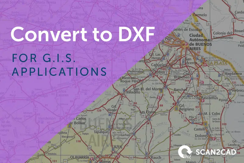
DXF and GIS
Whilst CAD and GIS are different technologies, they both have a common basis: displaying a physical entity in digital space. Though CAD drawings are typically oriented at (0,0), it’s possible to incorporate latitudes and longitudes into your design. This means CAD graphics can be incorporated into GIS applications, bringing with them the possibility of depicting buildings with much greater detail than is normally possible with GIS.
There are many CAD formats on the market, but one of the best CAD formats to choose for use with GIS is DXF. Created by Autodesk, DXF is an open standard. This means that it is publicly documented and can be used in software without a licence. This means that all CAD programs on the market support DXF. It’s essentially a ‘neutral’ vector format. Not only that, but a number of GIS programs support the format, including GRASS GIS, ArcGIS (from Esri) and gvSIG.
How to convert to DXF
Converting from raster to vector can be a tricky process. In the past, the only way to create a vector representation of a raster image was to manually trace over the lines. Not only was this a time-consuming process, there was no guarantee of good results.
The arrival of vectorization software changed all of that. Now, Scan2CAD makes it easy to convert to DXF in just a few clicks. It’s as simple as 1, 2, 3:
1. Open your raster file in Scan2CAD.
2. Select the right vectorization settings.
3. Convert your image in one click!
With your image successfully vectorized, you’re now ready to save it as a DXF. And that’s it! It might seem incredibly easy, but the process is actually remarkably complex. Learn more about how Scan2CAD converts images to DXF, or take a look at our frequently asked questions about DXF conversion.
Need to convert from raster to vector for use in GIS applications? Scan2CAD is the software for you. Convert to DXF in one click using the market leader in vectorization. Try out all of Scan2CAD’s features completely free for 14 days with our free trial.